06/26/2013 to 06/28/2013
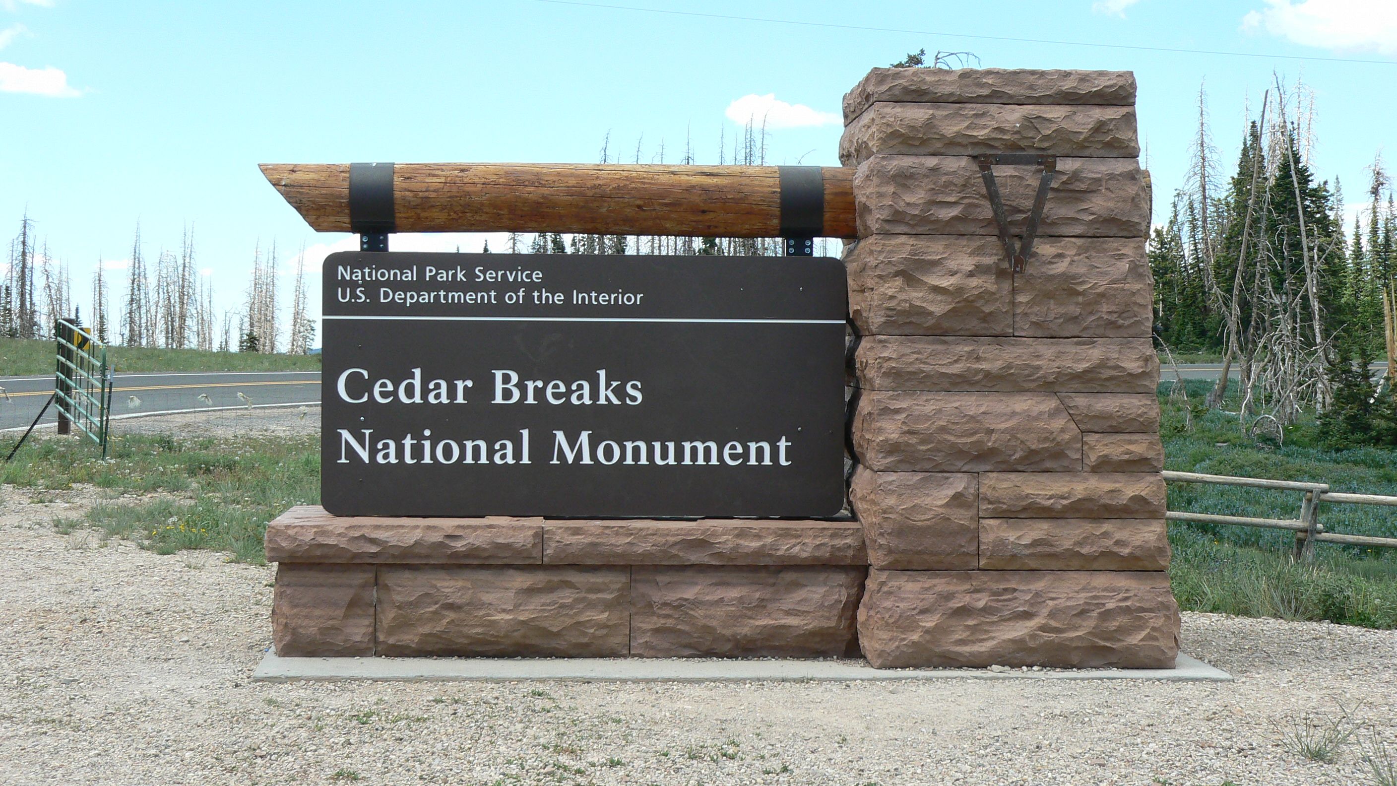
While coming back from Glacier last year we drove through Cedar Breaks National Monument and thought it would be a great place to come and escape the heat since it's over 10,000 feet. Well, the valley is more than hot so we took our own advice and went north.
Dixie National Forrest and Cedar Breaks are in the same area but each has unique opportunities for fun. Both offer amazing views, great hikes and beautiful scenery.
- Cascade Falls - Dixie National Forrest
- The Ice Cave - Dixie National Forrest
- Mammoth Cave - Dixie National Forrest
- Bower Cave - Dixie National Forrest
- Strawberry Point - Dixie National Forrest
- Spectra Point - Rampart Trail Overlook
- Alpine Pond Nature Trail - Cedar Breaks National Monument
- Grafton Ghost Town - Utah
Cascade Falls is one of the musts in Dixie. The drive to the trail head is on a very dusty road but we like that. The trail itself is not long and the end of the trail is a guard rail overlooking the falls.
As falls go this was quite small. It probably is more impressive in early spring when the snow melt is big, but it was just a nice little cascade when we saw it. No matter, the trail and views were worth the walk.

Some information on where the water from the falls goes

Scenery along the trail


A nice outcrop

Looking back along the trail

Cascade Falls


The view across the valley from Cascade Falls

Small but fun, this cave is a must. Entering is a bit messy and could be a little tricky but some kind soul put a small rope to hold onto as well as a log to climb down if you prefer.
This is a single chamber lave tube really, but the ice sheet is a year round feature so you can get nice and cool. Even if it is small, it was a lot of fun.


Entrance to the Ice Cave

Notice the sturdy rope I am using to descend. Not PMI grade that is for sure

TaDa! I am in.

Now I get to watch George descend

This is the sheet of ice that is present year round


Yes, it is slippery

The one chamber is not large, but it is cool

Now climbing out. I choose to free hand my 20 feet ascent

George used the rope. He is a brave man.
The "big draw" in the area is Mammoth Cave. Yes, it is another lava tube rather than a large limestone formation, but it is a lot bigger than the Ice Cave. The entrance is a large hole surrounded by the parking area. Once you climb down the rocks you are in a small chamber. There is lots of light here, and two smaller chambers are located just off of the upper ledge.
To get to the larger main chamber you have to squeeze through a gate used to block the entrance to humans when bats are roosting and breeding. Since the bats are gone, we did the squeeze and stumbled around with our little flashlights. As usual, I found the mud. My caving style remains in tact.

The entrance to Mammoth Cave

Climbing down or out of the cave. Not as challenging as the Ice Cave rope.

Great butt shot. I am eventually duck walking into this small chamber off of the entrance.

If I were a kid I could just walk along this ledge to the other chamber, but since I am old I'll crawl

It might not have looked pretty but I did make it to the other side

Another chamber I duck walked into.

It is hard to see but we are looking back to the gate from inside the cave.

The flash makes it look quite bright inside, but it was very dark and rocky.
On our way back from Mammoth Cave we stopped at Bower Cave. This sits back off of the road a bit but it is easy to find and has a dedicated parking area.
The entrance is another small hole in the ground, but this time there was a ladder. There seemed to be only one large chamber - it was hard to tell with just a flashlight - and again I found mud. This was the gooey
sucking kind that clings to your boots. We walked around inside for a while and then climbed back out.
The other neat thing about our trip to the caves was the animals. We saw couple of antelope on the way in, including a mother with twins.
Then there was the spastic Mountain Bluebird that kept beating on our truck. He flew at the windshield before we got out - yes we were parked - and then continued to land all over it and occasionally beat it with his wings. He was beautiful to see, even if a little odd.

Shaggy antelope. Looks like it is shedding more coat

Mom and her twins

Our spastic bluebird. We had just parked and were getting our cameras when he landed and began beating our windshield.

We are still sitting in the truck laughing and watching our attacking friend

He did not seem disturbed with us when we got out of the truck to go to the cave.

A little info about Bowers and the bats that roost in it. We did not see any roosting bats while we were there

Entering the cave using the ladder someone has nicely provided.

Down to the first level

I am pretty much in the dark except for my little flashlight and I like to make sure I do not bump m

Working my way toward the rear of the chamber.

Coming back after finding my quicksand mud.

More legs

See George smiling

Back at the care our little friend was still with us.

We had a great time watching him fly around the truck, up to the kiosk, then back to the truck.
To round out our day we drove to Strawberry Point after dinner. Our timing was great because the sun was striking the formations and bringing out all their color. And the dust from the road gave us some great sun beam shots as we drove in.

Our artsy light shots


We thought they were just so pretty


This is the view from Strawberry Point. Well worth the drive

As usual George is way too close to the edge

You can see hoodoo formations

From another vantage point you see this great cliff with different rock colors

Look the other way and you get this

Moving along the rim you get into shots of trees


Beautiful formations

The pinnacle was very bright

We called this "The Tree" Fans of Eddings will understand the reverence

Just another great view
WARNING! We took at least 10,000 pictures
on this trail. The views of the rocks and formations
were just amazing - naturally - but it was the
wildflowers that overwhelmed us. We just could not get
enough of them. And this is not even the height of
wildflower season. That is July.
The first mile
skirts along the rim and takes you to Spectra Point. If
you choose to continue to Rampart Point Overlook, just
take a left by the big tree, or follow the sign. This
will take you down into the valley filled with trees,
colorful bushes, more wildflowers, a little creek, and
then up to Rampart Overlook. We really enjoyed the
entire 4 miles round-trip and if we go back to Cedar
Breaks we will certainly do it again.

Not once was I tempted to go over the edge

This is the amphitheater

Lots of amazing views

Formations, hoodoos, you name it


Aspen bluebell. We took a couple hundred pictures of these little guys

Inside they are so delicate with a little pink center

Too bad our camera was not up to capturing the colors. Scarlet Paintbush and Aspen Bluebells make a beautiful contrast in color.

Actually these formations are just in a cloud shadow and not really a darker shade

I loved these delta formations


Field of wildflowers


Great formations


The trail along the rim to Spectra Point

Looking at the trail to Spectra Point

A lone tree on the way to Spectra Point

Closing in on Spectra Point

Spectra Point

Colorado Columbine and Aspen Bluebells

Cushion Flox

This is an amazing tree just before you get to Spectra Point & where you pick up Rampart Overlook Trail

Yes, it is a really big tree

A Colorado Columbine

Columbine and fir trees


We loved the side shots

Also the rear

Piggy little ground squirrel

Ah, The Devils Fork

George on a little side trail by Rampart Overlook

A great view across the valley from the trail to Rampart Overlook

Some pretty purple flowers

Lupines

Just part of the trail

Oregon Fleabane

I just liked the contrasts

Going into the trees

No idea what flower this is but we liked the bug

A Thalassomedon


The last part of the trail to the Rampart Overlook
After our fun trip along the Spectra Point-Rampart Overlook Trail we figured we would do the Alpine Pond Trail. Again, lots and lots of amazing wildflowers and vegetation.
This trail has an upper and lower loop. You can do one part, or both if you have the time. Naturally we did the Upper & Lower
. The pond is small but pretty and although there are no breath taking views of rocks and formations there are some beautiful flora along the way.

This Yurt is the winter headquarters of the park service.

Alpine Pond

Looks like a big snake going into the water

Colorful scum or algae

A Colorado Blue Columbine

Field of Heartleaf Bittercress

Primrose and Aspen Bluebells. Yes, more bluebells

More bittercress

Bittercress and Bluebells

Part of the trail


A single Littel Sunflower

Lupines. Love lupines

Primrose


Another part of the trail

Lots of wildflowers
Grafton was first settled in 1859. In January of 1862 the town was completely washed away by a flood. The people rebuilt it a mile further up stream at its present site. By 1864 about 28 families lived here.
There were many log houses, a post office, church, school and community hall. The town was deserted in 1866 due to Indian attacks. The people moved back in 1868.
By 1920 only 3 families still lived here. Small but lovingly restored and maintained best describes Grafton. Location is beautiful - sitting in a valley surrounded by majestic mesas - and not hard to get to at all.
You movie buffs might like to know this was where Etta Place lived - at least the movie studios built a house here for "Butch Cassidy and the Sundance Kid".
Yes, we watched the movie when we got home since we felt as if we knew the place so well. Amazing what a film crew and set designer can do to make 3 homesteads look like part of a town.

Approaching Grafton. The field to the right has cows grazing

The Alonzo H. Russell House

Those pioneers could certainly pick the spots


Inside the Russell House

Basement stairs going up

Inside the Russell House

They had lots of window

Going to the second floor

A lot of effort has gone into repairing and maintaining

Love the rafters and sturdy wall

Looking at the Church/School and the Russell home

The church functioned as the school as well as a place of worship


The John and Elled Wood House. It sits up the road a bit from the other structures

The barn and shed on the Wood property


The Louisa Marie Russell home

Side view - not big


It had a substantial chimney

Fireplace in the Louisa home

Not sure why to offset window but whatever


The little shed out back of the Louisa house. Yes, the cows had free range

Looking at the Russel house from the Louisa house

The Cemetery

There were some interesting grave markers


Many folks died of diphtheria back then

The cemetery hosts members from many families
